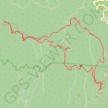
Pico Bejenado - La Palma
Interactive map
GPS track profile
About this GPS track
Name: Pico Bejenado - La Palma GPS track, route, trail
Coordinates: 28.67797 -17.87685 28.69331 -17.85279
Name: Pico Bejenado - La Palma GPS track, route, trail
Coordinates: 28.67797 -17.87685 28.69331 -17.85279