Anaga - Valle Brosque
Interactive map
GPS track profile
About this GPS track
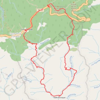
Name: Anaga - Valle Brosque GPS track, route, trail
Coordinates: 28.52349 -16.23452 28.54230 -16.22222
Other GPS tracks
Click on a GPS track to view route, its statistics and profile.
Anaga - Taganana
Espagne > Santa Cruz de Ténérife
Distance: 9.2 mi • Elevation gain: 1,260 m • Maximum elevation: 854 m