RE SK240630
- Distance: 1.5 mi
- Elevation gain: 45 m
- Maximum elevation: 307 m
- Elevation loss: 59 m
- Minimum elevation: 285 m
- Moving time: 49 m 55 s
- Moving speed: 1.8 mph
- Maximum speed: 3.3 mph
- Total time: 5 h 14 m
- Global speed: 0.3 mph
- Date: 17/05/21
Interactive map
GPS track profile
About this GPS track
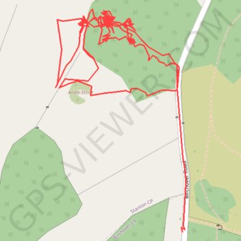
Name: RE SK240630 GPS track, route, trail
Coordinates: 53.16165 -1.64253 53.16462 -1.63963
Topography: Derbyshire Dales topographic map