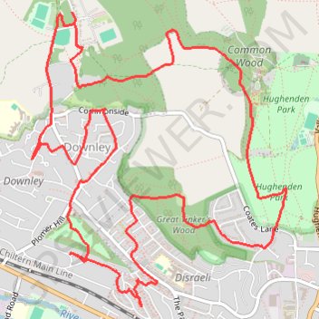
Run around Downley, Disraeli and Hughenden
Wycombe Trail Running
- Distance: 6.2 mi
- Elevation gain: 208 m
- Maximum elevation: 185 m
- Elevation loss: 211 m
- Minimum elevation: 82 m
- Moving time: 59 m 17 s
- Moving speed: 6.3 mph
- Maximum speed: 11.6 mph
- Total time: 59 m 17 s
- Global speed: 6.3 mph
- Date: 16/04/24
Interactive map
GPS track profile
About this GPS track
Name: Run around Downley, Disraeli and Hughenden GPS track, route, trail
Coordinates: 51.63746 -0.77785 51.65484 -0.75374
Topography: Buckinghamshire topographic map