Import a GPX file

Mont Condor - Mont King

Parc régional de Val-David - Val-Morin. #Randonnée #Raquettes #Ski #Boucle #ValDavid #ValMorin

  • Distance: 5.4 mi
  • Elevation gain: 363 m
  • Maximum elevation: 472 m
  • Elevation loss: 363 m
  • Minimum elevation: 319 m

Interactive map

GPS track profile

About this GPS track
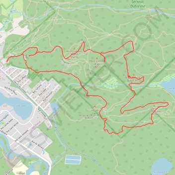
Other GPS tracks

Click on a GPS track to view route, its statistics and profile.

Québec - Montréal - Saint-Laurent River - Lake Ontario - Niagara Falls

Canada > Quebec > Urban agglomeration of Québec > Quebec

#Bike #Ontario

Distance: 670.1 mi • Elevation gain: 4,804 m • Maximum elevation: 209 m