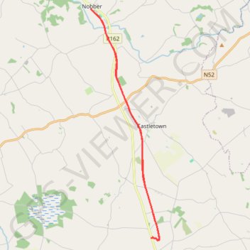
Wilkinstown to Nobber Boyne Valley to Lakelands County Greenway
Lunch Ride
- Distance: 12.6 mi
- Elevation gain: 114 m
- Maximum elevation: 85 m
- Elevation loss: 115 m
- Minimum elevation: 52 m
- Moving time: 1 h 25 m
- Moving speed: 8.9 mph
- Maximum speed: 17.9 mph
- Total time: 1 h 35 m
- Global speed: 8.0 mph
- Date: 28/04/24
Interactive map
GPS track profile
About this GPS track
Name: Wilkinstown to Nobber Boyne Valley to Lakelands County Greenway GPS track, route, trail
Coordinates: 53.73857 -6.75098 53.82153 -6.70948
Other GPS tracks
Click on a GPS track to view route, its statistics and profile.
RT5-1 Rosslare - Kinsale
Distance: 1,777.3 mi • Elevation gain: 27,381 m • Maximum elevation: 420 m
RT5-1 Rosslare - Kinsale
Distance: 2,402.9 mi • Elevation gain: 36,115 m • Maximum elevation: 524 m