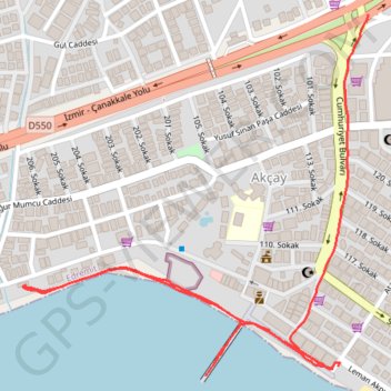
20240309_200443.gpx
- Distance: 1.6 mi
- Elevation gain: 11 m
- Maximum elevation: 8 m
- Elevation loss: 13 m
- Minimum elevation: 0 m
- Moving time: 36 m 37 s
- Moving speed: 2.6 mph
- Maximum speed: 6.0 mph
- Total time: 47 m 12 s
- Global speed: 2.1 mph
- Date: 09/03/24
Interactive map
GPS track profile
About this GPS track
Name: 20240309_200443.gpx GPS track, route, trail
Coordinates: 39.58221 26.91796 39.58906 26.92646
Topography: Turkey topographic map
Other GPS tracks
Click on a GPS track to view route, its statistics and profile.