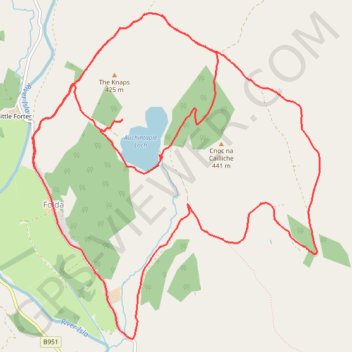
EMTB Gravel: Auchintaple Loch Loop
Around Auchintaple Loch, nr Folda, Angus
- Distance: 9.7 mi
- Elevation gain: 394 m
- Maximum elevation: 457 m
- Elevation loss: 394 m
- Minimum elevation: 282 m
- Moving time: 1 h 40 m
- Moving speed: 5.8 mph
- Maximum speed: 18.7 mph
- Total time: 2 h 4 m
- Global speed: 4.7 mph
- Date: 04/04/24
Interactive map
GPS track profile
About this GPS track
Name: EMTB Gravel: Auchintaple Loch Loop GPS track, route, trail
Coordinates: 56.75239 -3.33108 56.77665 -3.29213
Topography: Angus topographic map