Santiago Peak
Interactive map
GPS track profile
About this GPS track
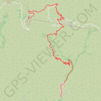
Name: Santiago Peak GPS track, route, trail
End: North Main Divide Road, Orange County, California, United States (33.71057 -117.53420)
Coordinates: 33.67710 -117.53420 33.71700 -117.51132
Other GPS tracks
Click on a GPS track to view route, its statistics and profile.