Evening Walk
- Distance: 3.4 mi
- Elevation gain: 18 m
- Maximum elevation: 45 m
- Elevation loss: 18 m
- Minimum elevation: 37 m
- Moving time: 1 h 27 m
- Moving speed: 2.3 mph
- Maximum speed: 5.3 mph
- Total time: 1 h 52 m
- Global speed: 1.8 mph
- Date: 08/05/24
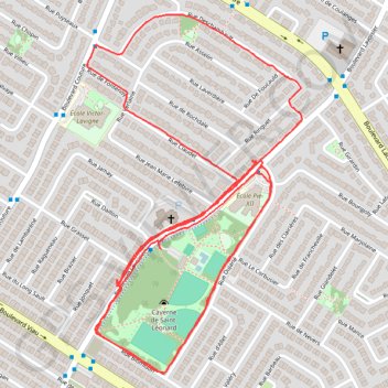
Interactive map
GPS track profile
About this GPS track
Name: Evening Walk GPS track, route, trail
Coordinates: 45.58657 -73.61040 45.59487 -73.60326
Other GPS tracks
Click on a GPS track to view route, its statistics and profile.