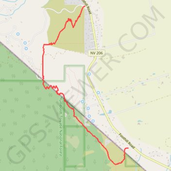
FLJPR Trail
Fay Luther Jobs Peak Ranch Hiking Trail
- Distance: 3.7 mi
- Elevation gain: 205 m
- Maximum elevation: 1,631 m
- Elevation loss: 206 m
- Minimum elevation: 1,470 m
- Moving time: 1 h 8 m
- Moving speed: 3.3 mph
- Maximum speed: 4.5 mph
- Total time: 1 h 8 m
- Global speed: 3.3 mph
- Date: 24/04/24
Interactive map
GPS track profile
About this GPS track
Name: FLJPR Trail GPS track, route, trail
Coordinates: 38.86733 -119.83039 38.89562 -119.81072
Other GPS tracks
Click on a GPS track to view route, its statistics and profile.
Chester - Walker
États-Unis d'Amérique > Californie > Plumas County > Chester
Vélo. En aller simple entre Chester et Walker. #Vélo
Distance: 238.5 mi • Elevation gain: 6,088 m • Maximum elevation: 2,541 m