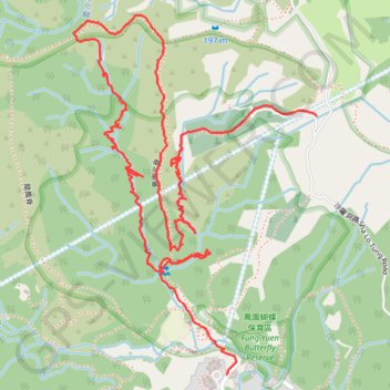
龍鳳右澗 龍鳳右右
- Distance: 2.7 mi
- Elevation gain: 385 m
- Maximum elevation: 228 m
- Elevation loss: 217 m
- Minimum elevation: 16 m
- Moving time: 1 h 42 m
- Moving speed: 1.6 mph
- Maximum speed: 4.5 mph
- Total time: 3 h 49 m
- Global speed: 0.7 mph
- Date: 24/02/24
Interactive map
GPS track profile
About this GPS track
Name: 龍鳳右澗 龍鳳右右 GPS track, route, trail
Start: Fung Yuen, Tai Po District, New Territories, Hong Kong, China (22.46613 114.17998)
Coordinates: 22.46613 114.17599 22.47484 114.18234
Other GPS tracks
Click on a GPS track to view route, its statistics and profile.
Wilson Trail Full Route
China > Hong Kong > Hong Kong Island
Distance: 50.5 mi • Elevation gain: 4,430 m • Maximum elevation: 613 m