Cruz de Gala
Interactive map
GPS track profile
About this GPS track
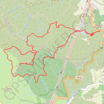
Name: Cruz de Gala GPS track, route, trail
Coordinates: 28.30716 -16.82738 28.31950 -16.80536
Name: Cruz de Gala GPS track, route, trail
Coordinates: 28.30716 -16.82738 28.31950 -16.80536