Import a GPX file

Mount Minsi via Council Rock, Lookout Rock and Minsi Lookout
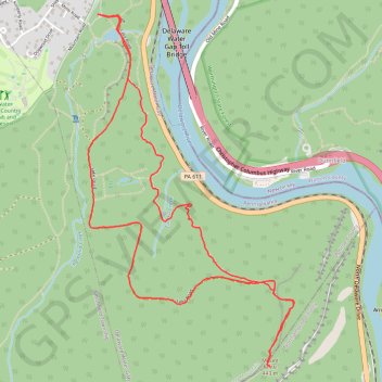
Delaware Water Gap National Recreation Area. Delaware River. #Hike #Mountain #Forest #River #Nature

  • Distance: 5.0 mi
  • Elevation gain: 357 m
  • Maximum elevation: 439 m
  • Elevation loss: 357 m
  • Minimum elevation: 155 m

Interactive map

GPS track profile

About this GPS track

Other GPS tracks

Click on a GPS track to view route, its statistics and profile.

Mount Tammany Loop

United States > New Jersey > Warren County > Hardwick Township > Dunnfield

Worthington State Forest. Delaware River. Dunfield Creek. #Hike #Mountain #Forest #River #Nature

Distance: 3.7 mi • Elevation gain: 412 m • Maximum elevation: 458 m