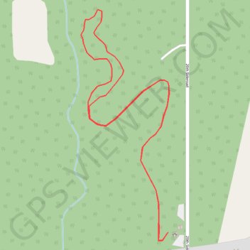
Kamview Nordic Ski Centre
- Distance: 2.1 mi
- Elevation gain: 27 m
- Maximum elevation: 242 m
- Elevation loss: 27 m
- Minimum elevation: 218 m
Interactive map
GPS track profile
About this GPS track
Name: Kamview Nordic Ski Centre GPS track, route, trail
Coordinates: 48.32634 -89.36671 48.33456 -89.36199
Topography: Thunder Bay topographic map
Other GPS tracks
Click on a GPS track to view route, its statistics and profile.