Elgol to Camasunary dans les Cuillin
- Distance: 9.2 mi
- Elevation gain: 527 m
- Maximum elevation: 189 m
- Elevation loss: 527 m
- Minimum elevation: 2 m
Interactive map
GPS track profile
About this GPS track
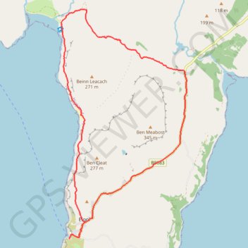
Name: Elgol to Camasunary dans les Cuillin GPS track, route, trail
Start: Elgol Jetty Road, Elgol, Highland, Écosse, IV49 9BJ, Royaume-Uni (57.14524 -6.10715)
End: Elgol Jetty Road, Elgol, Highland, Écosse, IV49 9BJ, Royaume-Uni (57.14530 -6.10707)
Coordinates: 57.14524 -6.11014 57.19224 -6.06275
Other GPS tracks
Click on a GPS track to view route, its statistics and profile.
Skye Trail
Royaume-Uni > Écosse > Highland > Shulista
Distance: 79.2 mi • Elevation gain: 3,959 m • Maximum elevation: 655 m