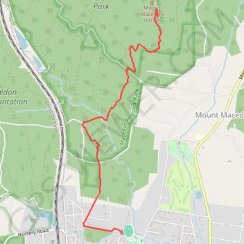
Mount Macedon
Interactive map
GPS track profile
About this GPS track
Name: Mount Macedon GPS track, route, trail
Start: Mount Macedon, Macedon, Shire of Macedon Ranges, Victoria, 3440, Australia (-37.41717 144.57128)
End: Mount Macedon, Shire of Macedon Ranges, Victoria, 3441, Australia (-37.38947 144.57683)
Coordinates: -37.41717 144.56475 -37.38844 144.57727
Other GPS tracks
Click on a GPS track to view route, its statistics and profile.