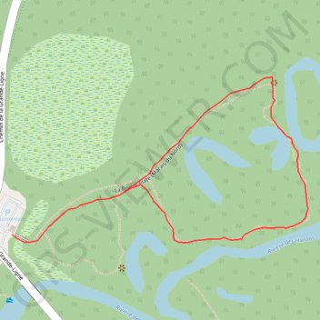
Les Marais du Nord
Interactive map
GPS track profile
About this GPS track
Name: Les Marais du Nord GPS track, route, trail
Coordinates: 46.96139 -71.39280 46.96379 -71.38651
Name: Les Marais du Nord GPS track, route, trail
Coordinates: 46.96139 -71.39280 46.96379 -71.38651