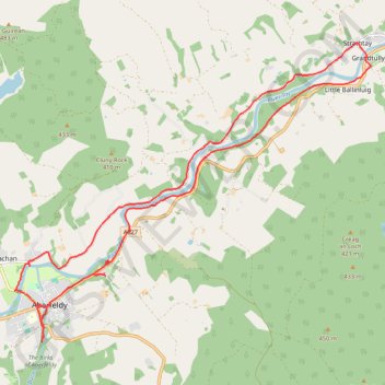
EMTB: Aberfeldy to Grandtully - Incl Rob Roy Way
Loop
- Distance: 12.5 mi
- Elevation gain: 267 m
- Maximum elevation: 146 m
- Elevation loss: 268 m
- Minimum elevation: 71 m
- Moving time: 1 h 32 m
- Moving speed: 8.1 mph
- Maximum speed: 23.2 mph
- Total time: 1 h 47 m
- Global speed: 7.0 mph
- Date: 23/04/24
Interactive map
GPS track profile
About this GPS track
Name: EMTB: Aberfeldy to Grandtully - Incl Rob Roy Way GPS track, route, trail
Coordinates: 56.61350 -3.87485 56.65999 -3.77432
Topography: Perth and Kinross topographic map