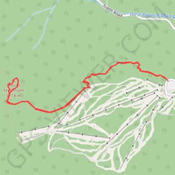
Mount Tecumseh
Hike to Mount Tecumseh via Mount Tecumseh Trail and Sosman Trail in the White Mountain National Forest. #Hike #Mountain #Forest #Nature
- Distance: 4.8 mi
- Elevation gain: 667 m
- Maximum elevation: 1,196 m
- Elevation loss: 671 m
- Minimum elevation: 561 m
- Moving time: 2 h 18 m
- Moving speed: 2.1 mph
- Maximum speed: 3.1 mph
- Total time: 2 h 34 m
- Global speed: 1.8 mph
- Date: 05/09/23
Interactive map
GPS track profile
About this GPS track
Name: Mount Tecumseh GPS track, route, trail
End: Waterville Valley, Grafton County, New Hampshire, United States (43.96659 -71.52672)
Coordinates: 43.96224 -71.55783 43.96917 -71.52672
Other GPS tracks
Click on a GPS track to view route, its statistics and profile.