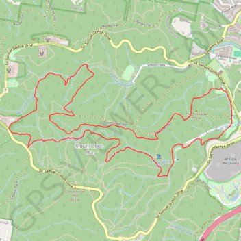
Mount Coot-tha
Loop hike / run from Bardon to Mount Coot-tha via The Pinnacle, Simpson Falls, Ithaca Creek and Bush Chapel. #Hike #Run #Loop #Nature #Mountain #Forest #River #Falls
- Distance: 6.8 mi
- Elevation gain: 392 m
- Maximum elevation: 247 m
- Elevation loss: 391 m
- Minimum elevation: 70 m
- Moving time: 1 h 41 m
- Moving speed: 4.0 mph
- Maximum speed: 7.6 mph
- Total time: 1 h 42 m
- Global speed: 4.0 mph
- Date: 07/02/24
Interactive map
GPS track profile
About this GPS track
Name: Mount Coot-tha GPS track, route, trail
Coordinates: -27.47791 152.94342 -27.46568 152.97082
Other GPS tracks
Click on a GPS track to view route, its statistics and profile.