Holly State Recreation Area
Interactive map
GPS track profile
About this GPS track
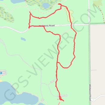
Name: Holly State Recreation Area GPS track, route, trail
Start: Wildwood Road, Austin Corners, Oakland County, Michigan, 48442, United States (42.80999 -83.51519)
End: Wildwood Road, Austin Corners, Oakland County, Michigan, 48442, United States (42.80886 -83.51453)
Coordinates: 42.80830 -83.51929 42.81914 -83.51207