UACA-MANGA
- Distance: 92.8 mi
- Elevation gain: 43 m
- Maximum elevation: 9 m
- Elevation loss: 41 m
- Minimum elevation: -1 m
Interactive map
GPS track profile
About this GPS track
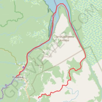
Name: UACA-MANGA GPS track, route, trail
Coordinates: 3.72286 -51.84123 4.25288 -51.45266
Other GPS tracks
Click on a GPS track to view route, its statistics and profile.
Tracé actuel: 30 MARS 2015 09:15
France > Guyane > Camopi > Chanel
Distance: 85.4 mi • Elevation gain: 827 m • Maximum elevation: 70 m