RE SJ800240
- Distance: 1.2 mi
- Elevation gain: 33 m
- Maximum elevation: 137 m
- Elevation loss: 33 m
- Minimum elevation: 117 m
- Moving time: 36 m 39 s
- Moving speed: 1.9 mph
- Maximum speed: 3.3 mph
- Total time: 3 h 31 m
- Global speed: 0.3 mph
- Date: 03/09/21
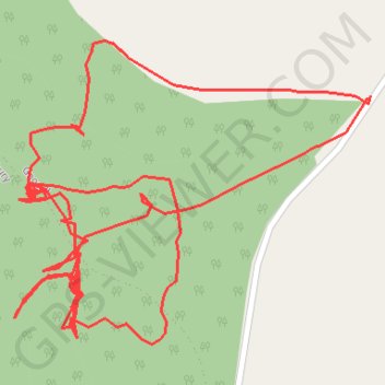
Interactive map
GPS track profile
About this GPS track
Name: RE SJ800240 GPS track, route, trail
Coordinates: 52.81303 -2.29838 52.81499 -2.29458
Topography: Staffordshire topographic map
Other GPS tracks
Click on a GPS track to view route, its statistics and profile.
RE SJ800240 2
United Kingdom > England > Staffordshire > Stafford > Gnosall > Knightley
Distance: 1.5 mi • Elevation gain: 31 m • Maximum elevation: 137 m