Lichfield Road to ALDI
- Distance: 0.2 mi
- Elevation gain: 1 m
- Maximum elevation: 152 m
- Elevation loss: 2 m
- Minimum elevation: 150 m
Interactive map
GPS track profile
About this GPS track
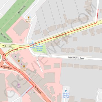
Name: Lichfield Road to ALDI GPS track, route, trail
Coordinates: 52.64764 -1.93506 52.64934 -1.93189
Topography: England topographic map
Other GPS tracks
Click on a GPS track to view route, its statistics and profile.
Lichfield Road to Queen Mary's Grammar School
United Kingdom > England > Brownhills
Distance: 5.9 mi • Elevation gain: 46 m • Maximum elevation: 154 m
Lichfield Road to United Kingdom
United Kingdom > England > Brownhills
Distance: 1.7 mi • Elevation gain: 7 m • Maximum elevation: 153 m