Hunters Hill - Boronia Park - Lane Cove River
Interactive map
GPS track profile
About this GPS track
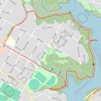
Name: Hunters Hill - Boronia Park - Lane Cove River GPS track, route, trail
Coordinates: -33.82701 151.13463 -33.81792 151.14752
Other GPS tracks
Click on a GPS track to view route, its statistics and profile.
Perth to Sydney
Australie > Australie occidentale > City of Belmont
Distance: 2,362.0 mi • Elevation gain: 14,558 m • Maximum elevation: 1,159 m