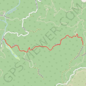
Camp Osito Road
San Bernardino National Forest. #Hike #SanBernardino
- Distance: 1.8 mi
- Elevation gain: 132 m
- Maximum elevation: 2,321 m
- Elevation loss: 47 m
- Minimum elevation: 2,235 m
- Moving time: 1 h 5 m
- Moving speed: 1.6 mph
- Maximum speed: 3.2 mph
- Total time: 1 h 9 m
- Global speed: 1.5 mph
- Date: 15/08/18
Interactive map
GPS track profile
About this GPS track
Name: Camp Osito Road GPS track, route, trail
Coordinates: 34.22209 -116.93913 34.22603 -116.91811
Other GPS tracks
Click on a GPS track to view route, its statistics and profile.