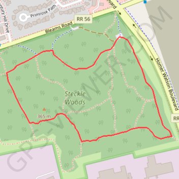
Steckle Woods Loop
Interactive map
GPS track profile
About this GPS track
Name: Steckle Woods Loop GPS track, route, trail
Coordinates: 43.40559 -80.46630 43.40911 -80.45867
Other GPS tracks
Click on a GPS track to view route, its statistics and profile.
Aldershot - Kitchener
Canada > Ontario > Halton Region > Burlington
#Bike
Distance: 49.1 mi • Elevation gain: 570 m • Maximum elevation: 346 m