Import a GPX file

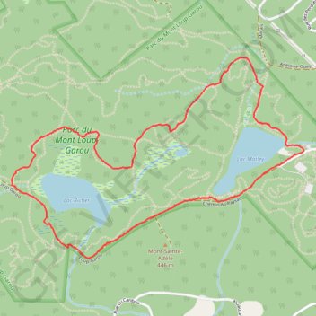
Werewolf and Big Yellow Loop

#Hike #Run #Loop

  • Distance: 3.2 mi
  • Elevation gain: 121 m
  • Maximum elevation: 428 m
  • Elevation loss: 121 m
  • Minimum elevation: 373 m

Interactive map

GPS track profile

About this GPS track

Other GPS tracks

Click on a GPS track to view route, its statistics and profile.

Québec - Montréal - Saint-Laurent River - Lake Ontario - Niagara Falls

Canada > Quebec > Urban agglomeration of Québec > Quebec

#Bike #Ontario

Distance: 670.1 mi • Elevation gain: 4,804 m • Maximum elevation: 209 m

Lac Matley - Poirier - Marais

Canada > Québec > Les Pays-d'en-Haut > Sainte-Adèle

#Randonnée #Raquettes #Boucle

Distance: 2.7 mi • Elevation gain: 134 m • Maximum elevation: 464 m