Leamington and Walbottle circular
- Distance: 2.1 mi
- Elevation gain: 72 m
- Maximum elevation: 90 m
- Elevation loss: 72 m
- Minimum elevation: 34 m
- Moving time: 47 m 49 s
- Moving speed: 2.6 mph
- Maximum speed: 4.2 mph
- Total time: 51 m 35 s
- Global speed: 2.4 mph
- Date: 06/05/24
Interactive map
GPS track profile
About this GPS track
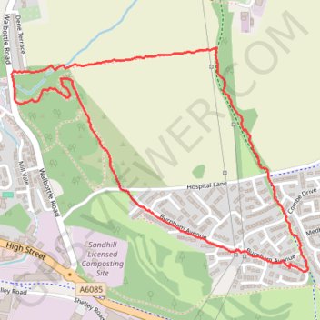
Name: Leamington and Walbottle circular GPS track, route, trail
Coordinates: 54.98082 -1.73708 54.98778 -1.72101
Topography: Newcastle upon Tyne topographic map