T1
- Distance: 63.9 mi
- Elevation gain: 297 m
- Maximum elevation: 9 m
- Elevation loss: 297 m
- Minimum elevation: -3 m
- Moving time: 9 h 29 m
- Moving speed: 6.7 mph
- Maximum speed: 17.3 mph
- Total time: 12 h 7 m
- Global speed: 5.3 mph
- Date: 27/05/21
Interactive map
GPS track profile
About this GPS track
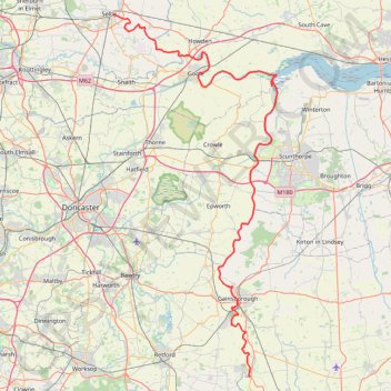
Name: T1 GPS track, route, trail
Coordinates: 53.29338 -1.05834 53.78268 -0.68615
Topography: North Yorkshire topographic map
Other GPS tracks
Click on a GPS track to view route, its statistics and profile.
2024-05-05_07-35_Sun
United Kingdom > England > London
Distance: 197.8 mi • Elevation gain: 2,128 m • Maximum elevation: 174 m