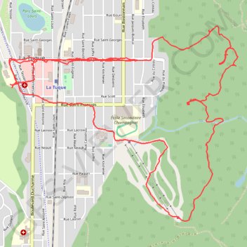
Croix lumineuse, belvédère et Centre de Ski
Interactive map
GPS track profile
About this GPS track
Name: Croix lumineuse, belvédère et Centre de Ski GPS track, route, trail
Coordinates: 47.42950 -72.78747 47.44335 -72.76349
Name: Croix lumineuse, belvédère et Centre de Ski GPS track, route, trail
Coordinates: 47.42950 -72.78747 47.44335 -72.76349