Fairford and Water Park
- Distance: 6.6 mi
- Elevation gain: 67 m
- Maximum elevation: 113 m
- Elevation loss: 67 m
- Minimum elevation: 80 m
- Moving time: 2 h 8 m
- Moving speed: 3.1 mph
- Maximum speed: 5.3 mph
- Total time: 2 h 43 m
- Global speed: 2.4 mph
- Date: 04/05/24
Interactive map
GPS track profile
About this GPS track
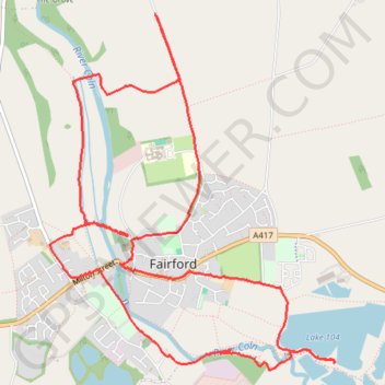
Name: Fairford and Water Park GPS track, route, trail
Coordinates: 51.70126 -1.78959 51.72333 -1.76106
Topography: Cotswold District topographic map
Other GPS tracks
Click on a GPS track to view route, its statistics and profile.
Dean2023-311
United Kingdom > England > Oxfordshire > Oxford
Distance: 192.8 mi • Elevation gain: 3,366 m • Maximum elevation: 290 m